Ditapis dengan
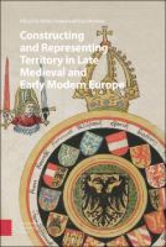
Constructing and Representing Territory in Late Medieval and Early Modern Europe
In recent political and constitutional history, scholars seldom specify how and why they use the concept of territory. In research on state formation processes and nation building, for instance, the term mostly designates an enclosed geographical area ruled by a central government. Inspired by ideas from political geographers, this book explores the layered and constantly changing meanings of t…
- Edisi
- -
- ISBN/ISSN
- 978-90-4855-180-4
- Deskripsi Fisik
- 366 Hlm.
- Judul Seri
- -
- No. Panggil
- 526 Dam c
History, Space and Place
Spaces, too, have a history. And history always takes place in spaces. But what do historians mean when they use the word ""spaces""? And how can spaces be historically investigated? Susanne Rau provides a survey of the history of Western concepts of space, opens up interdisciplinary approaches to the phenomenon of space in fields ranging from physics and geography to philosophy and sociology, …
- Edisi
- -
- ISBN/ISSN
- 978-0-429-05638-3
- Deskripsi Fisik
- 233 Hlm.
- Judul Seri
- -
- No. Panggil
- 526 Rau h
Robot Localization and Map Building
Localization and mapping are the essence of successful navigation in mobile platform technology. Localization is a fundamental task in order to achieve high levels of autonomy in robot navigation and robustness in vehicle positioning. Robot localization and mapping is commonly related to cartography, combining science, technique and computation to build a trajectory map that reality can be mode…
- Edisi
- -
- ISBN/ISSN
- 978-953-51-5497-6
- Deskripsi Fisik
- 588 Hlm.
- Judul Seri
- -
- No. Panggil
- 526 Yus r
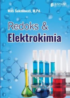
Redoks dan Elektrokimia
Peristiwa reduksi oksidasi (redoks) biasa kita temukan dalam kehidupan sehari-hari. Sebagai contoh peristiwa paku besi yang berkarat, reaksi kimia dalam baterai dan aki, apel yang berubah menjadi kecoklatan saat disimpan di udara terbuka, dan pembakaran pada gas LPG (Liquified Petroleum Gas). Selain itu, dalam konteks farmasi dan kesehatan reaksi redoks berperan penting bagi kestabilan struktur…
- Edisi
- -
- ISBN/ISSN
- 978-623-6143-67-4
- Deskripsi Fisik
- 79 hlm.
- Judul Seri
- -
- No. Panggil
- 541.37 Suk r
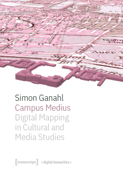
Campus Medius: Digital Mapping in Cultural and Media Studies
Campus Medius explores and expands the possibilities of digital cartography in cultural and media studies. Simon Ganahl documents the development of the project from a historical case study to a mapping platform. Based on the question of what a media experience is, the concepts of the apparatus (dispositif) and the actor-network are translated into a data model. A time-space of twenty-four hour…
- Edisi
- -
- ISBN/ISSN
- 978-3-8394-5601-9
- Deskripsi Fisik
- 356 hlm.
- Judul Seri
- -
- No. Panggil
- 526 Gan c
Geodesy for a Sustainable Earth: Proceedings of the 2021 Scientific Assembly …
This open access volume contains selected papers of the 2021 Scientific Assembly of the International Association of Geodesy – IAG2021. The Assembly was hosted by the Chinese Society for Geodesy, Photogrammetry and Cartography (CSGPC) in Beijing, China from June 28 to July 2, 2021. The theme of the Assembly was Geodesy for a Sustainable Earth. 613 contributions (255 oral presentations and 35…
- Edisi
- -
- ISBN/ISSN
- 978-3-031-29507-2
- Deskripsi Fisik
- 418 hlm.
- Judul Seri
- -
- No. Panggil
- 526.1 Fre g
Volunteered Geographic Information : Interpretation, Visualization and Social…
This open access book includes methods for retrieval, semantic representation, and analysis of Volunteered Geographic Information (VGI), geovisualization and user interactions related to VGI, and discusses selected topics in active participation, social context, and privacy awareness. It presents the results of the DFG-funded priority program "VGI: Interpretation, Visualization, and Social Comp…
- Edisi
- -
- ISBN/ISSN
- 978-3-031-35374-1
- Deskripsi Fisik
- 297 Hlm.
- Judul Seri
- -
- No. Panggil
- 526 Bur v
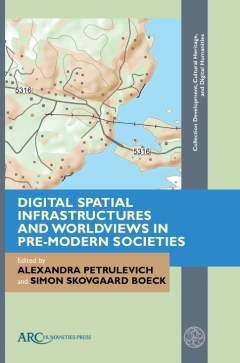
Digital Spatial Infrastructures and Worldviews in Pre-Modern Societies
The study of medieval and early modern geographic space, literary cartography, and spatial thinking at a time of rapid digitization in the Humanities offers new ways to investigate spatial knowledge and world perceptions in pre-modern societies. Digitization of cultural heritage collections, open source databases, and interactive resources utilizing a rich variety of source materials—place na…
- Edisi
- -
- ISBN/ISSN
- 978-1802700794
- Deskripsi Fisik
- 312 hlm.
- Judul Seri
- -
- No. Panggil
- 526 Pet d
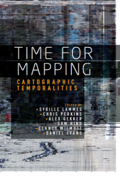
Time for Mapping: Cartographic Temporalities
The digital era has brought about huge transformations in the map itself, which to date have been largely conceptualised in spatial terms. Novel objects, forms, processes and approaches have emerged and pose new, pressing questions about the temporality of digital maps and contemporary mapping practices: in spite of its implicit spatiality, digital mapping is strongly grounded in time. This col…
- Edisi
- -
- ISBN/ISSN
- 978-1-5261-2252-0
- Deskripsi Fisik
- 289 hlm.
- Judul Seri
- -
- No. Panggil
- 526 Tim
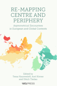
Re-Mapping Centre and Periphery: Asymmetrical Encounters in European and Glob…
Historians often assume a one-directional transmission of knowledge and ideas, leading to the establishment of spatial hierarchies defined as centres and peripheries. In recent decades, transnational and global history have contributed to a more inclusive understanding of intellectual and cultural exchanges that profoundly challenged the ways in which we draw our mental maps. Covering the early…
- Edisi
- -
- ISBN/ISSN
- 978–1-78735–099-1
- Deskripsi Fisik
- 211 hlm.
- Judul Seri
- -
- No. Panggil
- 526 Hau r
 Karya Umum
  Filsafat
  Agama
Agama  Ilmu-ilmu Sosial
  Bahasa
  Ilmu-ilmu Murni
  Ilmu-ilmu Terapan
  Kesenian, Hiburan, dan Olahraga
  Kesusastraan
  Geografi dan Sejarah