Ditapis dengan

Constructing and Representing Territory in Late Medieval and Early Modern Europe
In recent political and constitutional history, scholars seldom specify how and why they use the concept of territory. In research on state formation processes and nation building, for instance, the term mostly designates an enclosed geographical area ruled by a central government. Inspired by ideas from political geographers, this book explores the layered and constantly changing meanings of t…
- Edisi
- -
- ISBN/ISSN
- 978-90-4855-180-4
- Deskripsi Fisik
- 366 Hlm.
- Judul Seri
- -
- No. Panggil
- 526 Dam c
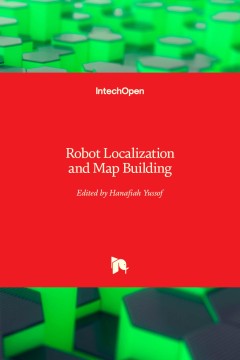
Robot Localization and Map Building
Localization and mapping are the essence of successful navigation in mobile platform technology. Localization is a fundamental task in order to achieve high levels of autonomy in robot navigation and robustness in vehicle positioning. Robot localization and mapping is commonly related to cartography, combining science, technique and computation to build a trajectory map that reality can be mode…
- Edisi
- -
- ISBN/ISSN
- 978-953-51-5497-6
- Deskripsi Fisik
- 588 Hlm.
- Judul Seri
- -
- No. Panggil
- 526 Yus r
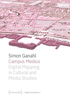
Campus Medius: Digital Mapping in Cultural and Media Studies
Campus Medius explores and expands the possibilities of digital cartography in cultural and media studies. Simon Ganahl documents the development of the project from a historical case study to a mapping platform. Based on the question of what a media experience is, the concepts of the apparatus (dispositif) and the actor-network are translated into a data model. A time-space of twenty-four hour…
- Edisi
- -
- ISBN/ISSN
- 978-3-8394-5601-9
- Deskripsi Fisik
- 356 hlm.
- Judul Seri
- -
- No. Panggil
- 526 Gan c
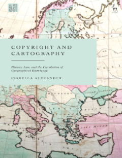
Copyright and Cartography: History, Law, and the Circulation of Geographical …
This open access book explores the intertwined histories of mapmaking and copyright law in Britain from the early modern period up to World War 1, focusing chiefly on the 18th and 19th centuries. Taking a multidisciplinary approach and making extensive use of the archival record, this is the first detailed, historical account of the relationship between maps and copyright. As such, it examines …
- Edisi
- -
- ISBN/ISSN
- 978-1-50995-835-1
- Deskripsi Fisik
- 416 hlm.
- Judul Seri
- -
- No. Panggil
- -
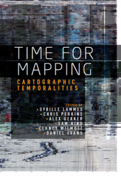
Time for Mapping: Cartographic Temporalities
The digital era has brought about huge transformations in the map itself, which to date have been largely conceptualised in spatial terms. Novel objects, forms, processes and approaches have emerged and pose new, pressing questions about the temporality of digital maps and contemporary mapping practices: in spite of its implicit spatiality, digital mapping is strongly grounded in time. This col…
- Edisi
- -
- ISBN/ISSN
- 978-1-5261-2252-0
- Deskripsi Fisik
- 289 hlm.
- Judul Seri
- -
- No. Panggil
- 526 Tim
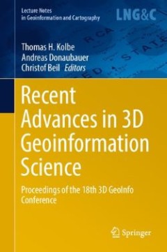
Recent Advances in 3D Geoinformation Science: Proceedings of the 18th 3D GeoI…
The book includes the contributions to the international conference “18th 3D GeoInfo”. The papers published in the book were selected through a double-blind review process. 3D GeoInfo has been the forum joining researchers, professionals, software developers, and data providers designing and developing innovative concepts, tools, and application related to 3D geo data processing, modeling, …
- Edisi
- -
- ISBN/ISSN
- 978-3-031-43699-4
- Deskripsi Fisik
- 836 hlm.
- Judul Seri
- -
- No. Panggil
- 526 Kol r
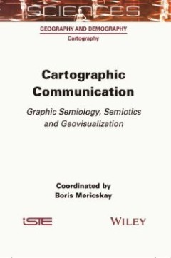
Cartographic Communication: Graphic Semiology, Semiotics and Geovisualization
With the development of information technology and the Internet, cartography has undergone profound changes in terms of tools, uses and audiences. This new socio-technical context has consequences for cartographic communication that must be considered in light of the new dynamics at play. Cartographic Communication addresses issues related to the transmission of spatial information through map…
- Edisi
- -
- ISBN/ISSN
- 978-1-78945-091-0
- Deskripsi Fisik
- 258 hlm.
- Judul Seri
- -
- No. Panggil
- 526 Mer c
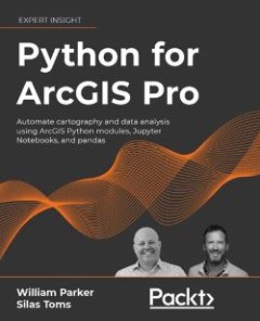
Python for ArcGIS Pro: Automate Cartography and Data Analysis using ArcGIS Py…
The book leads the reader through the major uses of Python programming for ArcGIS Pro - map production, online and offline data management, data analyses, and data visualization. It shows various Python programming options for ArcGIS Pro, and how to integrate them together into a smarter workflow. You’ll learn how to use popular Python packages such as Jupyter Notebooks and pandas to explore …
- Edisi
- -
- ISBN/ISSN
- 978-1-80324-166-1
- Deskripsi Fisik
- 115 hlm.
- Judul Seri
- -
- No. Panggil
- 526 Par p
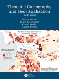
Thematic Cartography and Geovisualization
This comprehensive and well-established cartography textbook covers the theory and the practical applications of map design and the appropriate use of map elements. It explains the basic methods for visualizing and analyzing spatial data and introduces the latest cutting-edge data visualization techniques. The fourth edition responds to the extensive developments in cartography and GIS in the l…
- Edisi
- 4
- ISBN/ISSN
- 978-1-003-15052-7
- Deskripsi Fisik
- 613 hlm.
- Judul Seri
- -
- No. Panggil
- 526 The
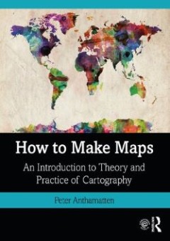
How to Make Maps: an Introduction to Theory and Practice of Cartography
The goal of How to Make Maps is to equip readers with the foundational knowledge of concepts they need to conceive, design, and produce maps in a legible, clear, and coherent manner, drawing from both classical and modern theory in cartography. The first part of the book explores the key decisions behind every map, with the aim of providing the reader with a solid foundation in fundamental car…
- Edisi
- -
- ISBN/ISSN
- 978-1-315-15842-6
- Deskripsi Fisik
- 291 hlm.
- Judul Seri
- -
- No. Panggil
- 526 Ant h
 Karya Umum
  Filsafat
  Agama
Agama  Ilmu-ilmu Sosial
  Bahasa
  Ilmu-ilmu Murni
  Ilmu-ilmu Terapan
  Kesenian, Hiburan, dan Olahraga
  Kesusastraan
  Geografi dan Sejarah